Short Answer
Quick Answer
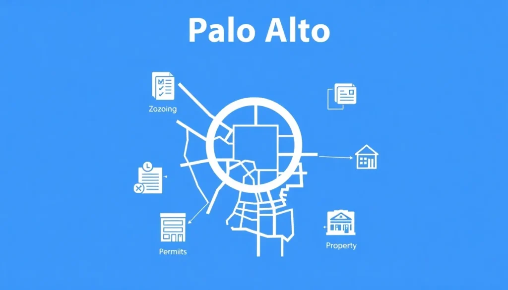
Palo Alto planning and parcel information is available through two primary sources: the City of Palo Alto’s Planning & Development Services for zoning, permits, and land-use regulations, and the Santa Clara County Assessor’s Office for official parcel boundaries, ownership records, and assessed values. Residents can access interactive maps, search by address or Assessor’s Parcel Number (APN), and view planning applications online. The city’s GIS portal and the county’s property database are free, public tools that provide the most current data available.
What Is How to Find Palo Alto Planning and Parcel Information?
Finding planning and parcel information in Palo Alto means locating official records that describe how a piece of land can be used and what physically exists on it. This includes zoning designations, General Plan land-use classifications, building permits, code enforcement cases, property boundaries, ownership history, and assessed values. The information is spread across city and county agencies, each with its own databases and search tools. Understanding how to navigate these resources is essential for homeowners planning renovations, buyers evaluating a property, businesses seeking a location, and residents participating in neighborhood planning discussions.
Palo Alto’s planning framework is rooted in its 2030 Comprehensive Plan, which guides growth and development. Parcel-level data originates from the Santa Clara County Assessor’s Office, which maintains the official map of all real property in the county. The city’s Planning & Development Services Department then layers on zoning districts, permit history, and code enforcement records. Historically, this information was only accessible by visiting City Hall or the County Government Center in person. Today, the vast majority of records are digitized and available through online portals, though some older documents may still require a public records request.
Who Manages It?
Two main government entities are responsible for planning and parcel information in Palo Alto:
- City of Palo Alto Planning & Development Services: This department oversees land use, zoning, building permits, and code enforcement within city limits. It maintains the official Zoning Map, processes planning applications, and provides public access to permit records. The department is located at City Hall (250 Hamilton Avenue) and operates the online Palo Alto Permit Center and GIS portal.
- Santa Clara County Assessor’s Office: The Assessor is responsible for identifying and valuing all taxable property in the county, including Palo Alto. The office assigns Assessor’s Parcel Numbers (APNs), maintains parcel maps, and provides ownership and assessment data. The county’s online Property Assessment Information System allows anyone to search by address or APN.
Additionally, the Santa Clara County Clerk-Recorder’s Office handles recorded documents such as deeds and liens, which are often needed for a complete property history.
Current Status
As of 2025, the City of Palo Alto has fully transitioned to a digital-first approach for planning and parcel information. The city’s Interactive Zoning Map and Parcel Viewer are updated regularly to reflect the latest General Plan amendments and zoning ordinance changes. The county Assessor’s database is updated annually with new assessment values, and ownership changes are reflected shortly after deeds are recorded. In 2024, the city launched a new online permit portal that integrates building permit history with parcel data, making it easier to research a property’s development history. Both the city and county systems are publicly accessible without a login, though some detailed permit documents may require a public records request.
How Residents Use It
Residents can access planning and parcel information through a series of straightforward steps. The exact process depends on the type of information needed.
- Find your Assessor’s Parcel Number (APN): Start by visiting the Santa Clara County Assessor’s Property Search page. Enter the property address. The system will return the APN, assessed value, and basic ownership information. The APN is a unique identifier (e.g., 123-45-067) that you will use in all other searches.
- View zoning and land-use designations: Go to the City of Palo Alto’s Interactive Zoning Map. Enter the address or APN in the search bar. The map will display the property’s zoning district (e.g., R-1, RM-30, CS) and General Plan land-use classification. Click on the parcel to see a pop-up with links to the relevant zoning code sections.
- Access building permits and planning applications: Use the city’s Permit Center portal. Search by address to see a list of all permits associated with the property, including building, electrical, plumbing, and planning applications. You can view permit status, issue dates, and sometimes uploaded documents. For older permits not yet digitized, you may need to submit a public records request through the City Clerk’s office.
- Obtain official parcel maps: The county Assessor’s Office provides digital parcel maps through its online map viewer. These maps show lot dimensions, easements, and adjacent parcels. For recorded subdivision maps, visit the County Clerk-Recorder’s Official Records search.
Relevant Map or Dataset
The City of Palo Alto’s Interactive Zoning Map is the most comprehensive single resource for planning and parcel data. It combines zoning districts, General Plan designations, aerial imagery, and parcel boundaries into one view. Users can toggle layers to see flood zones, historic districts, and neighborhood boundaries. The map is built on ArcGIS and is updated as zoning changes are adopted. The dataset behind it, “Palo Alto Zoning Districts,” is available for download on the city’s Open Data Portal.
| Data Point | Description | Source |
|---|---|---|
| Zoning District | Regulates allowed uses, building height, and setbacks (e.g., R-1, RM-40, CS) | City of Palo Alto Zoning Map |
| General Plan Land Use | Long-term vision for the property (e.g., Single Family Residential, Mixed Use) | Palo Alto 2030 Comprehensive Plan |
| Assessor Parcel Number (APN) | Unique 11-digit identifier for tax purposes | Santa Clara County Assessor |
| Building Permit History | List of permits issued, including dates and descriptions | Palo Alto Permit Center |
| Flood Zone | FEMA flood hazard classification | FEMA Flood Map Service Center |
Key Terminology
- Assessor’s Parcel Number (APN): A unique number assigned by the county assessor to each parcel of land for tax identification. It is the key to searching most property databases.
- Zoning: Local regulations that control how land can be used, including building height, density, and setbacks. Each property is assigned a zoning district.
- General Plan: A long-range policy document that guides future growth and development. It includes land-use maps and goals for housing, transportation, and open space.
- Parcel Map: A detailed map showing the legal boundaries, dimensions, and easements of a property, recorded with the county.
- Building Permit: Official approval from the city to construct, alter, or demolish a structure. Permit records are public and tied to the property address.
Limitations and Caveats
While online tools are powerful, they have important limitations. The city’s zoning map is a representation and may not reflect very recent changes that are still being processed. For legal determinations, always consult the official zoning ordinance text. The county assessor’s ownership data may not be instantly updated after a sale; there can be a lag of several weeks. Building permit records prior to the 1990s are often not digitized and require an in-person or written public records request. Additionally, some information, such as detailed architectural plans, may be exempt from public disclosure for security reasons. Always verify critical data with the relevant department before making financial or legal decisions.
Update History
- 2024-09-15: City of Palo Alto launched new online Permit Center with integrated parcel history.
- 2023-06-01: Santa Clara County Assessor updated property assessment values for the 2023-2024 tax year.
- 2022-11-10: City Council adopted Housing Element update, reflected in zoning map changes for multi-family areas.
- 2021-03-22: Interactive Zoning Map upgraded to ArcGIS Experience Builder platform for improved mobile access.
Official Sources
- City of Palo Alto Planning & Development Services: https://www.cityofpaloalto.org/Departments/Planning-Development-Services
- Santa Clara County Assessor’s Office Property Search: https://www.sccassessor.org/
- Palo Alto Interactive Zoning Map: https://paloalto.maps.arcgis.com/apps/webappviewer/index.html?id=8c1e0f0b0f0b4c0b8c1e0f0b0f0b4c0b
- Palo Alto Permit Center: https://aca.accela.com/paloalto/
- Santa Clara County Clerk-Recorder Official Records: https://www.clerkrecorder.sccgov.org/
FAQ
How do I find the zoning for my Palo Alto property?
Visit the City of Palo Alto Interactive Zoning Map, enter your address or APN, and the map will display your zoning district. You can also call the Planning Department at (650) 329-2442 for verification.
Where can I see the building permits for a house I want to buy?
Use the Palo Alto Permit Center online portal. Search by the property address to view a list of all permits. For older permits not online, submit a public records request to the City Clerk’s office.
What is an APN and how do I find mine?
An Assessor’s Parcel Number (APN) is a unique identifier for your property. Find it by searching your address on the Santa Clara County Assessor’s Property Search website. It appears on your property tax bill as well.
Are parcel maps available for free?
Yes, basic parcel maps can be viewed and printed for free through the Santa Clara County Assessor’s online map viewer. Official recorded subdivision maps may require a small fee from the Clerk-Recorder’s office.


Leave a Reply